This report investigated how and to what extent maps function as tools for knowledge mobilisation (KM) in Welsh policy making. KM refers to the process of bringing together different forms of evidence and expertise, including research, professional knowledge, and lived experience, to support decision-making. While maps are widely used in planning, environmental management, and policy development, little research has examined their role as explicit tools for KM. This study addresses that gap by exploring how maps support communication, collaboration, knowledge exchange, and evidence use within Welsh policy contexts.
The research combined a literature review, documentary analysis of Welsh Government, local authority, and Natural Resources Wales policy documents, and seven semi-structured interviews with nine participants involved in policy making, research, GIS, and KM.
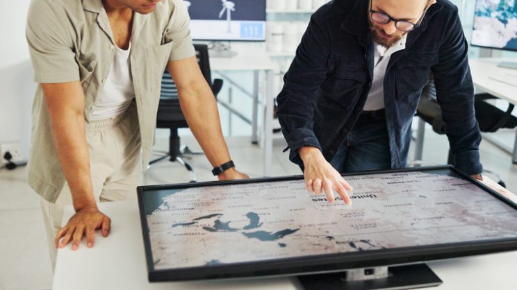
The literature review highlights significant overlap between cartography and KM. Contemporary KM emphasises relationship building, knowledge integration, collaboration, and contextual understanding. Similarly, cartographic approaches, particularly participatory GIS, interactive mapping, story maps, and walkable floor maps, can support communication, stakeholder engagement, and the integration of multiple forms of knowledge. However, the review also notes that maps are not neutral representations of reality and may influence how evidence is perceived and interpreted.
The documentary analysis found that maps used in Welsh policy documents are predominantly static and quantitative, largely focusing on environmental, demographic, and planning data. Interactive, qualitative, and participatory mapping approaches were rare. Interview participants confirmed that maps are widely valued because they communicate complex spatial information quickly and clearly, helping policy makers identify patterns, understand place-based issues, and support evidence-informed decisions. Participants also viewed maps as effective communication tools that can make information more accessible than lengthy reports.
Beyond communication, maps were seen as tools for integrating diverse types of knowledge, including quantitative data, local knowledge, narratives, and lived experience. Participants emphasised that the process of creating maps can be as valuable as the final product because it encourages dialogue, shared understanding, and collaboration between stakeholders. Interactive mapping methods, story maps, and participatory approaches were viewed as particularly effective for supporting knowledge exchange and engagement.
The study identified several barriers to wider use of innovative mapping approaches. These include limited time, funding, GIS expertise, training opportunities, software costs, and organisational capacity. Some participants also suggested that policy
makers often favour traditional forms of quantitative evidence, making qualitative and participatory approaches more difficult to promote.
The report concludes that maps can be highly effective knowledge mobilisation tools when they communicate evidence clearly, support critical engagement, integrate multiple forms of knowledge, align with user needs, and are supported by appropriate organisational resources and skills. Rather than being viewed solely as visual outputs, maps should be understood as tools and processes that facilitate communication, collaboration, learning, and evidence-informed policy making.